photo- Nick Kelley hiking towards the Crytal Pacific saddle after a summit of Crystal peak. photo by Erik Weiss, 2011
It is April now and over the last week or two of March I had noticed people hitting some big lines on the high peaks and avalanche conditions seemed to be mellowing. I have been itching to get out on a big line but then a large storm came in on 3/27-3/28 dumping snow with storm totals in the feet across central Colorado temporarily dashing my hopes of getting onto something steep. Saturday, April 2nd looked to have good weather to get up high atleast, even though the avalanche danger would keep me off of any steep stuff.
I started looking at some maps and guidebooks for a peak close to home, that I had not climbed, that had a high trailhead (because of the crappy overnight freeze), and that held a low angle descent line on it. I called through my phone list and rallied a couple friends; Nick and Rik. Nick came over on the evening of the first to discuss peak options. We settled on Crystal Peak in the Ten Mile via Mayflower Gulch.
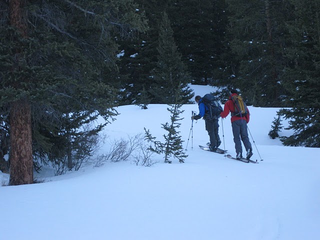
photo- Zach Taylor (left) and Nick Kelley (right) skinning through Mayflower Gulch. photo by Erik Weiss, 2011.
I woke up at 430am grabbed my stuff and Nick was over at my house by 5. We were on the road by 5:15 and met Rik at Mayflower Gulch 45 minutes later. We geared up and began skinning up the road just as the early morning light began to hit the high peaks. We crossed Mayflower Gulch immediately and followed a skin/snowshoe track that paralled the dirt road that runs up Mayflower Gulch on the other side of the creek. We attempted to quietly skin through a CMC campsite and then turned left (north and followed Pacific creek up to the Mayflower Hill/Pacific Peak saddle.
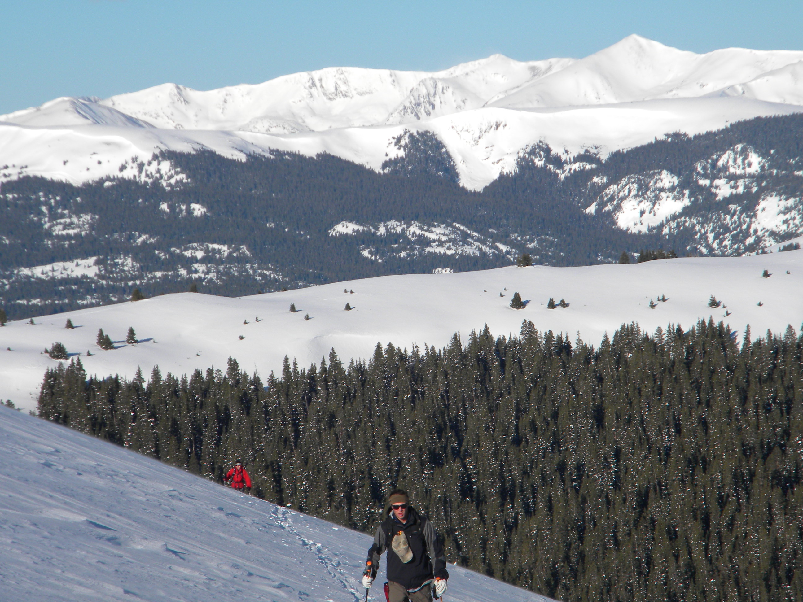
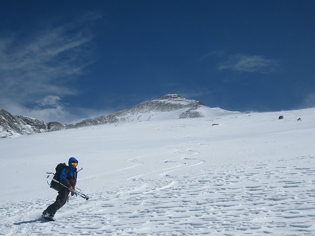
photo- Nick Kelley (background left) and Erik Weiss (foreground right) skinning above treeline towards Crystal peak. photo by Zach Taylor, 2011
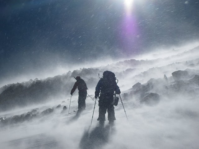
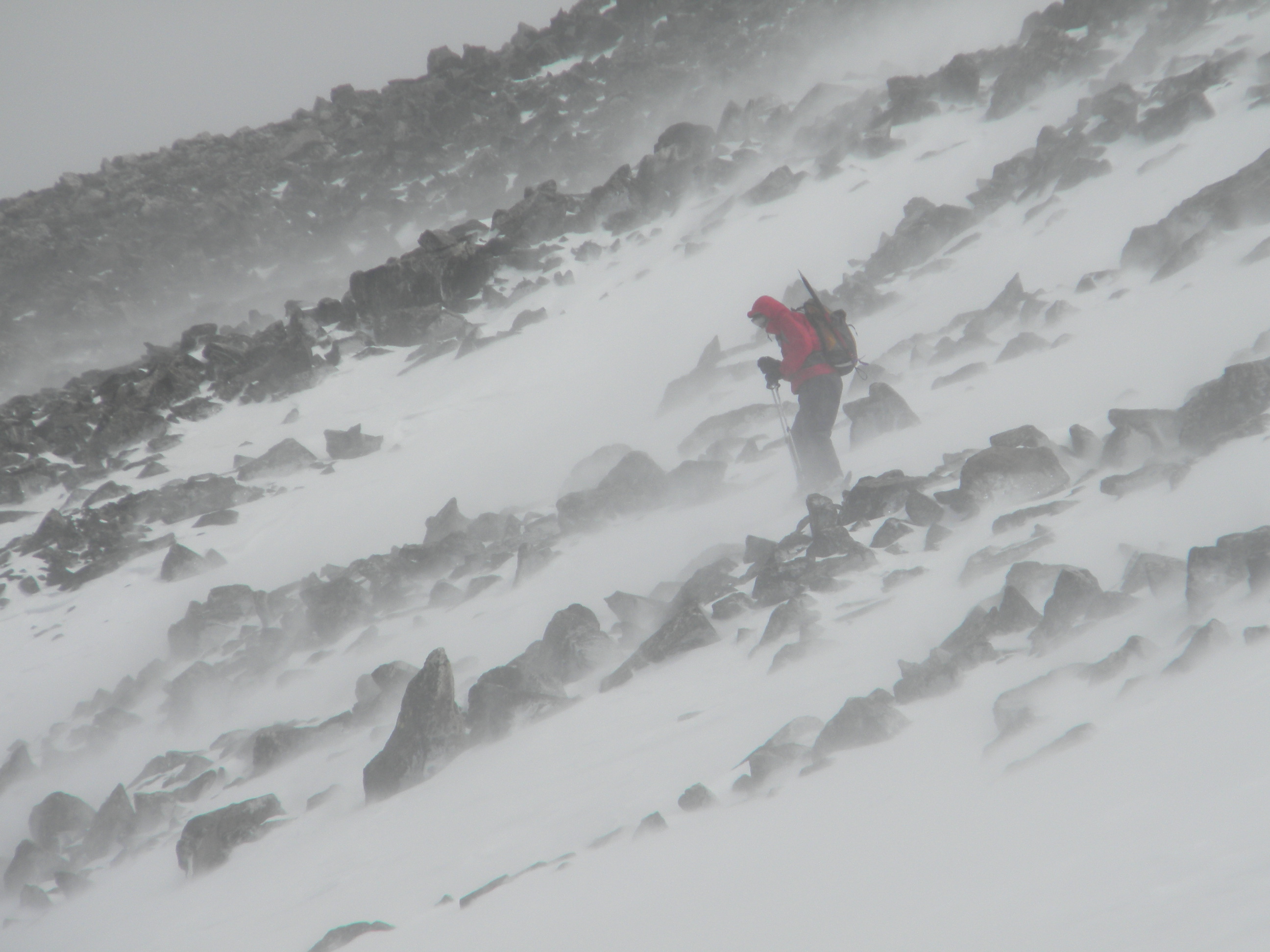
As soon as we crested treeline we were greeted with a sustained WSW wind that hammered us all day. Most of this route was on a west facing aspect which helped protect from the sun's radiating energy but allowed for the winds to blast us the whole day. Most of the time we were above treeline we had a sustained 20-25mph winds with gusts up towards the low 40mph range. There were multiple times in the day where I stopped hiking for a few minutes and knelt down because winds were gusting hard enough to make it difficult to skin/hike in.
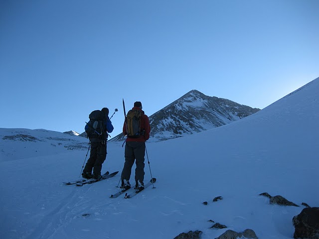
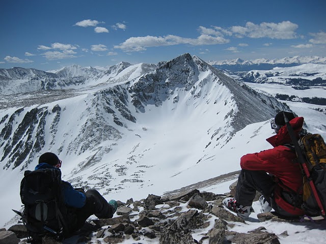
photo- Zach Taylor (left) and Nick Kelley (right) looking at the west side of Pacific peak. photo by Erik Weiss, 2011
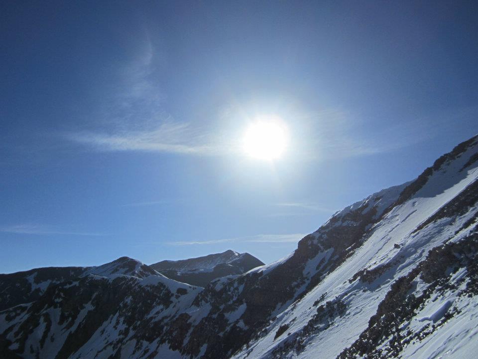
photo- from Atlantic to Pacific, a beautiful sunrise in the Tenmile range. photo by Erik Weiss, 2011
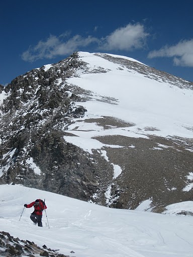
We descended into the high part of Humbug Creek and skinned up towards the Crystal/Pacific saddle. The saddle has been scoured with wind and we hiked the last 200' or so to the saddle due to lack of snow. We ditched our skis/boards here because it looked like there was no safe way to ski the east face of Crystal and took a brief break from the wind by hiding behind some rocks on the east side of the saddle. Then we hiked up the southwest ridge of Crystal towards its false summit.
After reaching the false summit I realized we could have hugged the skiers right side of the east face above Crystal Creek and gotten about 700' of riding before hiking back up to the false summit and descending the rocky ridge back to the Crystal/Pacific saddle and riding down from there. Oh well, hindsight is always 20/20, the summit descent of Crystal will have to wait for another day.
photo- Zach Taylor (left) and Nick Kelley (right) getting hammered with wind on the west side of the Crystal/Pacific saddle. photo by Erik Weiss, 2011
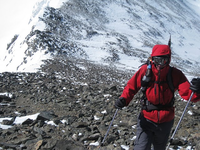
photo- Nick Kelley hiking towards the false summit of Crystal. photo by Erik Weiss, 2011
After reaching the false summit we were able to drop off the ridgeline slightly onto the east side and avoid wind until we reached the summit.
We were greated with calm (relatively speaking) winds on the summit and enjoyed some sunshine and spectacular views of the Tenmile, Mosquito, Elk, Front, and Gore mountain ranges. I could see from the Maroon Bells to Pikes Peak.
photo- Obligatory summit shot. Zach Taylor on the summit of Crystal Peak. photo by Erik Weiss, 2011
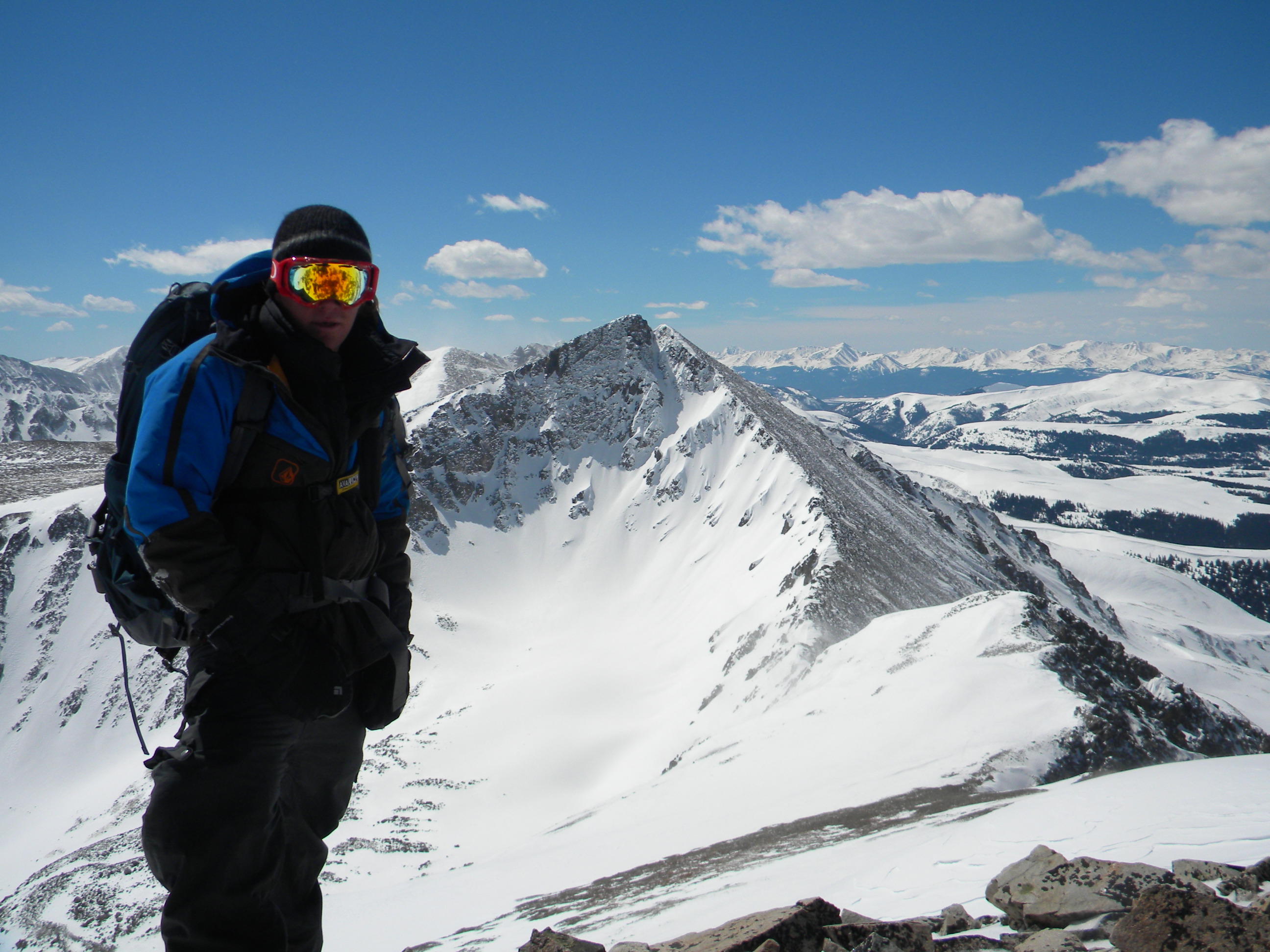
photo- Zach Taylor and Nick Kelley looking at the north face of Pacific from Crystal's summit. photo by Erik Weiss, 2011
I realized on the way down that I had just climbed my last of the "official" Tenmile centenniel summits, which was kind of cool. We hiked back down the ridge, over the false summit and then back down to our skis/boards at the saddle. We walked a couple hundred more feet back to snowline while getting hammered with more wind. It was all still worth the wind but the wind was definitely an issue most of the day.
After looking at a map and descent options we decided to drop into Humbug Creek, the drainage paralleling Mayflower Gulch to the north directly beneath Crystal's west side. This seemed easier than traversing all the way back over the Mayflower Hill/Pacific saddle and riding out Mayflower gulch. We dropped in and rode low angle slopes out to Hwy 91. Enjoy the action shots:
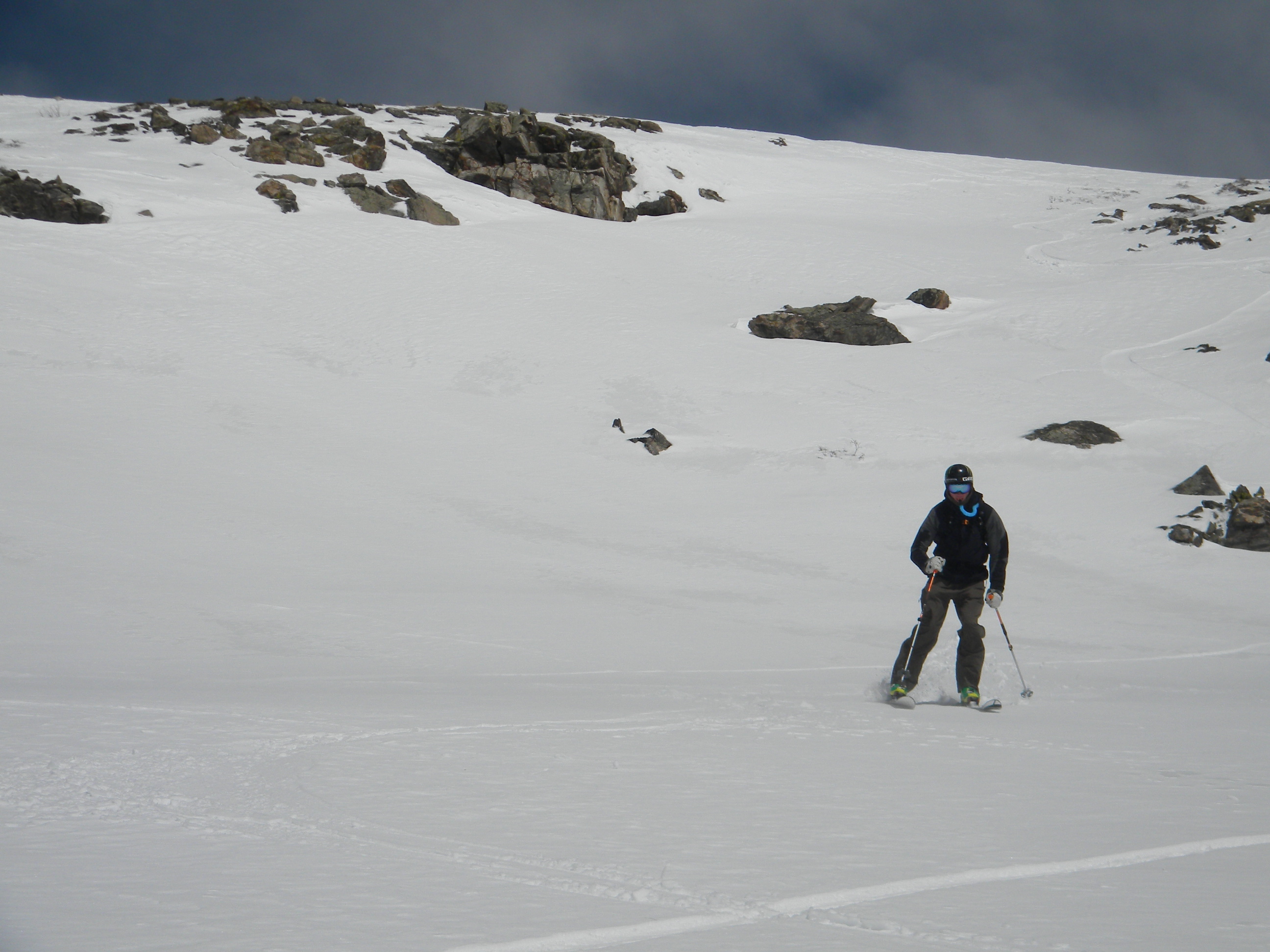
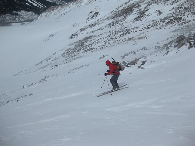
photo- Nick Kelley riding down the west slopes of Crystal above Humbug creek. photo by Zach Taylor, 2011
photo- Rik Weiss skiing down Humbug creek. photo by Zach Taylor, 2011
photo- Nick Kelley skiing in the alpine off the west side of Crystal. photo by Erik Weiss, 2011
Zach Taylor enjoying some powder turns in Humbug Creek. photo by Erik Weiss, 2011
We hitchhiked Hwy 91 back to the Mayflower Gulch trailhead and enjoyed some sunshine in the parking lot before heading back to Vail/Avon.
Most of the riding was low angle and I found poles useful on my snowboard for getting out of the drainage although I did not have to unstrap at any point. The descent was not a classic but made for a nice tour, summit, and good views on a day when avalanche conditions are not conducive to getting onto anything steep.
Winds were loading east and north aspects the entire day. The few times we were on easterly aspects the snow was fairly wet, even up high from solar heating. We observed tender fresh cornices on north facing aspects above Humbug creek. Winds kept the west aspects cold the whole day. The snow conditions above treeline were mostly windscoured sastrugish snow until a little above treeline where we found some nice powder turns, before the snow turned into wet, slushy snow below treeline. A large, natural, slab avalanche had run on a northeast facing aspect off Point 12,561 just north of Mayflower hill. It was a large D2/small D3 that ran pretty much to the valley floor (R4). I know Snow White ran deep, wide, and long the day prior from explosive control by Breckenridge ski patrol as well on the other side of peak 8. There still seems to be some serious dry slab instability in the Ten Mile, particularly on north and east facing aspects above treeline, something anyone recreating in the area soon should keep in mind. Hopefully with a bit more sun and warm temps we will see more of a trend towards stability in the area soon.