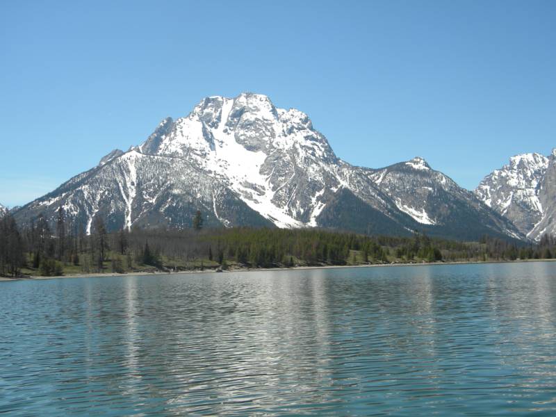
photo- the east face of Mt. Moran with the Skillet Glacier in the middle. photo by Zach Taylor, 2012
12,605' Mt. Moran
5/14-5/15/2012
ascent/descent route: Skillet Glacier
members of group: Sam Jordan, Joel Paula, and Zach Taylor
Joel, Sam, and I had been traveling around Utah and Wyoming climbing and riding lines for the last week or two. We had stellar weather. Sunshine, low winds, moderate temperatures, and perfect corn cycles prevailed. After climbing and riding Kings Peak, Nez Perce, and Pt 10,646 we decided it was time to go for the Skillet on Mt. Moran. This was the most anticipated line of the trip for all of us.
Mt. Moran sits just a little to the north of the Grand Teton and on the north side of Teton National Park. Many people consider it the most classic ski/snowboard descent in the Tetons. It is one of Chris Davenports Fifty Classic Ski Descents of North America and is one of the classics listed in Lou Dawson's Wildsnow as well.
The Skillet provides over 6,000' of snow climbing and skiing and maxes out at about 50 degrees at the top. Stories of skiers losing their edge and ragdolling down the route or triggering avalanches and getting run down the glacier abound in Teton ski lore.
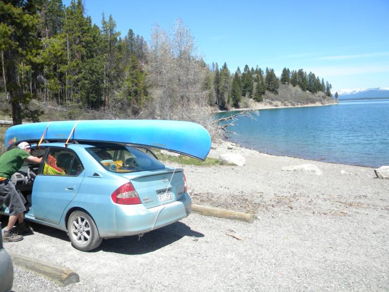
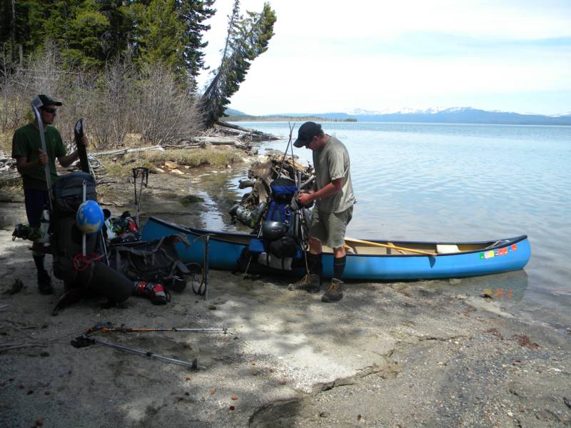
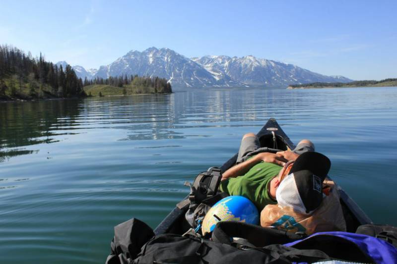
The easiest way to get to the Skillet Glacier and Mt. Moran is to canoe across Jackson Lake with all your ski gear in your boat (or snowmobile across the lake if it is early enough in the season). Fortunately I have a good friend, Elizabeth, that lives in Jackson Hole and just happens to own a canoe. She was nice enough to let us stay at her place while we were in Jackson and she lent us her boat to use to get across the lake.
On the 14th we loaded up our gear at her house, strapped the canoe onto the roof of our car, and drove to the bay on the southeast side of jackson lake to begin the canoe across the lake.
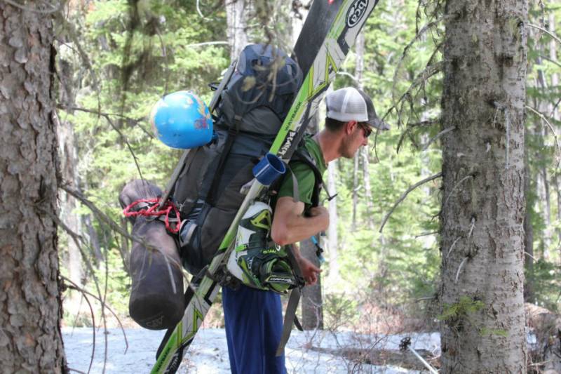
photo- Joel Paula unloading the car at Jackson Lake. photo by Zach Taylor, 2012.
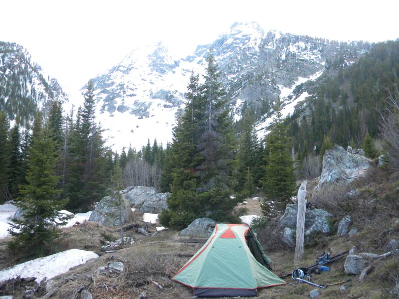
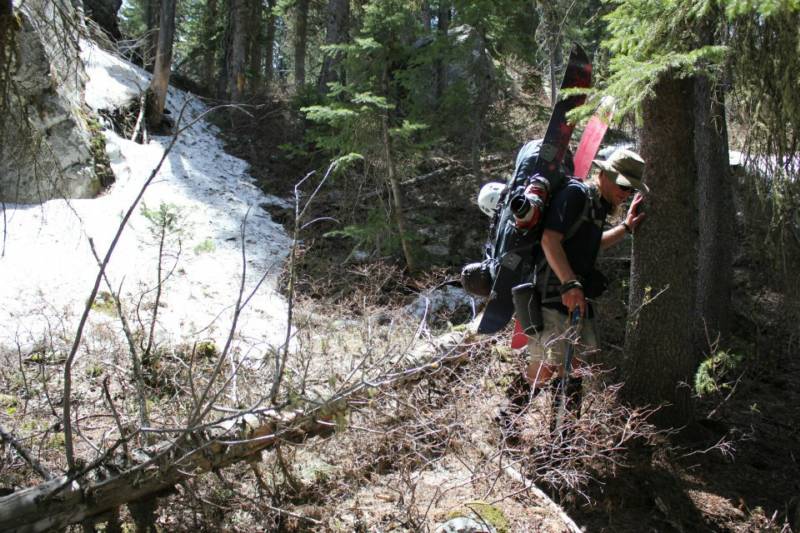
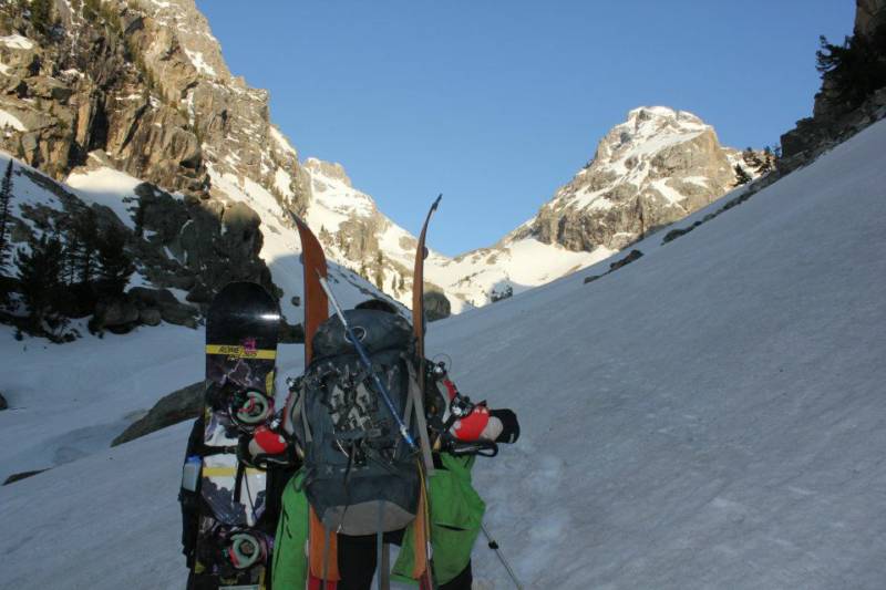
Sam, Joel, and I loaded up the boat. There was not enough room for three people and all their gear so we took two trips across the lake. All three of us and my gear went first. Then they dropped me off, canoed back across the lake picked up their gear and canoed back across the lake while I bushwacked up through dense brush to the base of the Skillet for our basecamp. People often describe this bushwack as loathsome and frustrating. I can understand what they mean. It took quite some time to get to the glacier due to dense brush, lots of downed logs, and patchy, postholey snow. I finally made it though and began looking for a place to camp. I found a good spot on dry ground just to the looker's right side of the Skillet.
photo-Basecamp on Mt. Moran. photo by Zach Taylor, 2012.
Sam called me to tell me that Joel was throwing up off the canoe. It was a hot, sunny day and I think he probably had heat exhaustion. We discussed options worried that we would not be able to make a summit attempt the next day. Joel rallied though. Once he got to shade and drank some water he was feeling much better and Joel and Sam walked into camp a couple hours later.
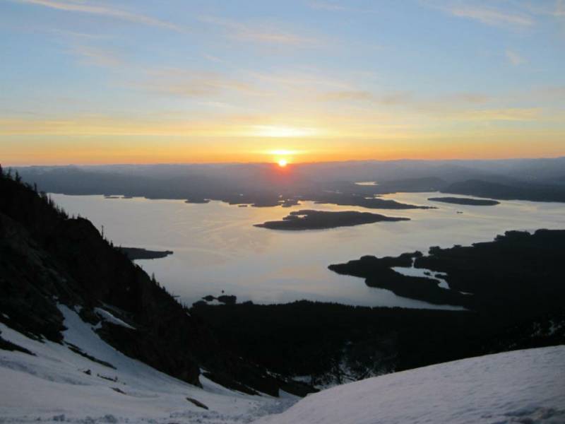
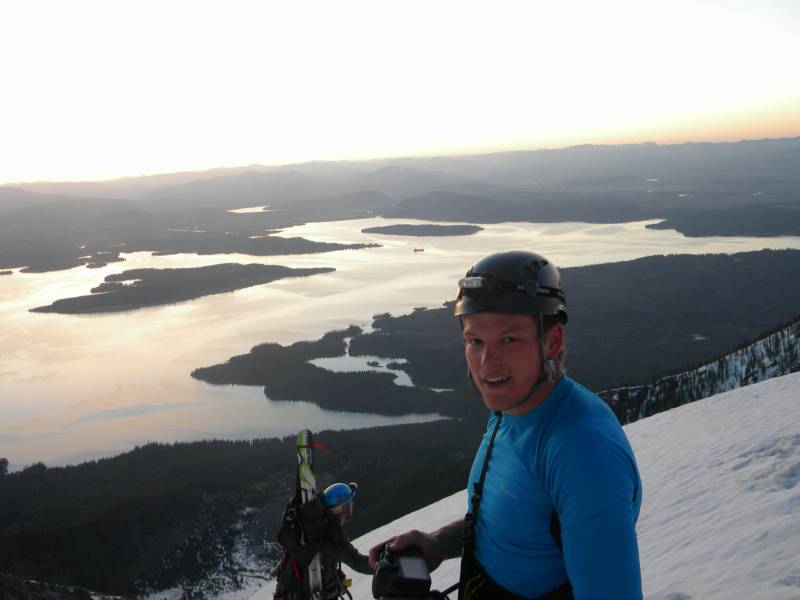
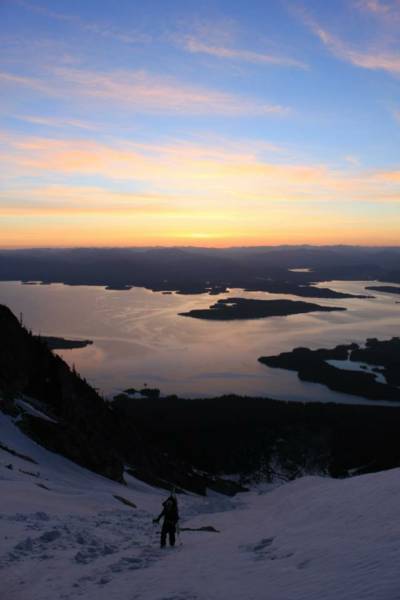
We went to bed by 8pm for a big day the next day. We got up at 2:30am and started hiking about an hour later. We were quickly on snow and began the long snow climb up the apron of the Skillet and on into the handle. We were well up the glacier in the dark and enjoyed a beautiful sunrise over Jackson Lake from high on Mt. Moran.
photo- Sunrise over the Skillet Glacier and Jackson Lake. photo by Joel Paula, 2012
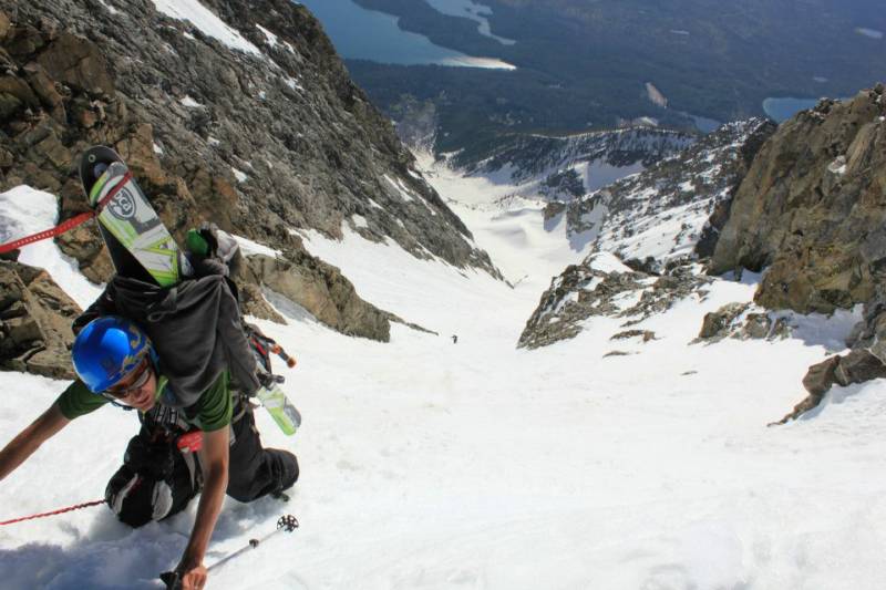
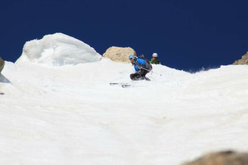
photo- Joel Paula (left) and Sam Jordan (right) climbing the Skillet Glacier on Mt. Moran. photo by Zach Taylor, 2012.
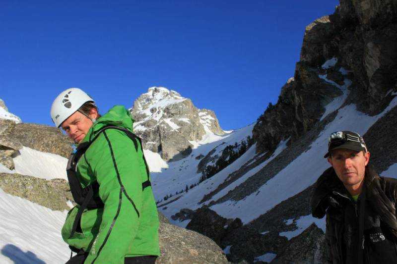
As we climbed up the apron, we could see headlamps below us and just as we were about to leave the apron and climb onto the Skillet proper we were passed by two Jackson locals. They stopped briefly and said hi. They had skied the Skillet the day before and were headed up another mountain just to the south of Moran. I cannot remember the name of it. We talked for a few, everyone wished each other luck, and they took off for the summit.
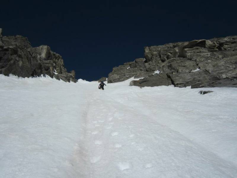
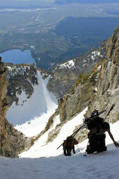
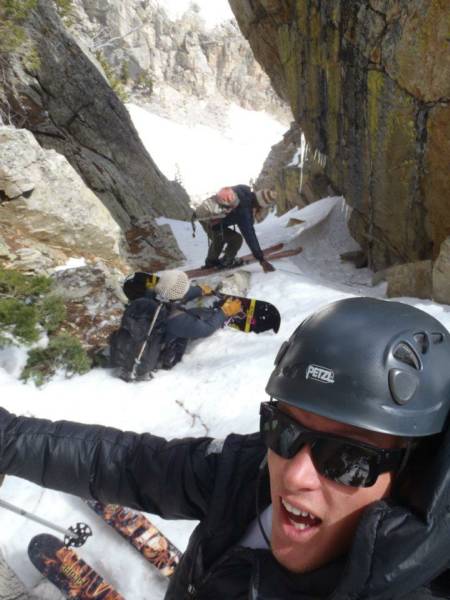
We continued the climb up the Skillet. There had been a solid freeze the night before and the snow was in good condition for cramponing. We made good time up the glacier as the sun rose and began to beat down on the glacier. A large avalanche had run several days prior and we had to climb through some avalanche debris on the apron. As we got onto the glacier proper we left the debris behind. The pitch steepened a bit to about 40 degrees. The glacier is called Skillet because it looks like a Skillet with the handle coming right off the summit block. We passed a few menacing crevasses as we continued our climb up into the "handle" of the Skillet. The pitch angle continued to steepen to about 45 degrees here.
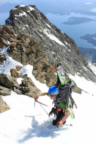
photo-Joel Paula climbing up the Skillet. Photo by Sam Jordan, 2012.
photo-Joel Paula climbing the Skillet. photo by Zach Taylor, 2012.
photo- Sam Jordan climbing the Skillet Glacier. photo by Joel Paula, 2012.
I had been sick for most of the last week with a viral respiratory infection. I had still been able to climb but had not been feeling great and had been much slower than normal. By this time I was hurting a bit and slowed down as I wheezed and coughed. Sam and Joel pulled ahead by a couple hundred vertical feet as we neared the top. The last 300 feet of the Skillet steepens to about 50 degrees before topping out on the summit block.
Joel and Sam topped out and waited for me just below the summit. The snow was getting a bit wet and heavy as I topped out. It was only 8:30am. Even with the eastern aspect of the line I was surprised at how wet it was this early in the morning. I briefly pulled out my inclinometer right at the top of the Skillet. It pitched at 49 degrees. Yep it was a bit steep.
photo- Joel Paula topping out on the Skillet Glacier, Mt. Moran, photo by Sam Jordan, 2012.
photo- Joel Paula at the top of the Skillet. photo by Sam Jordan, 2012.
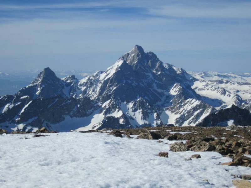
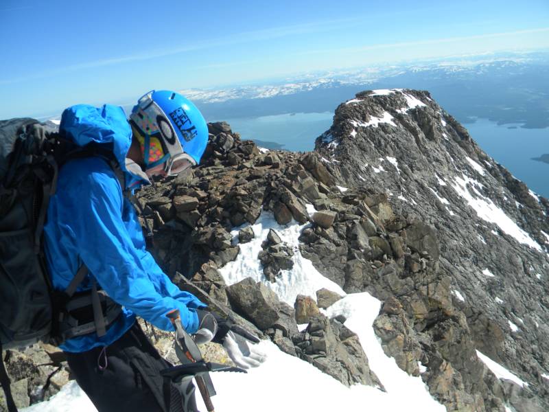
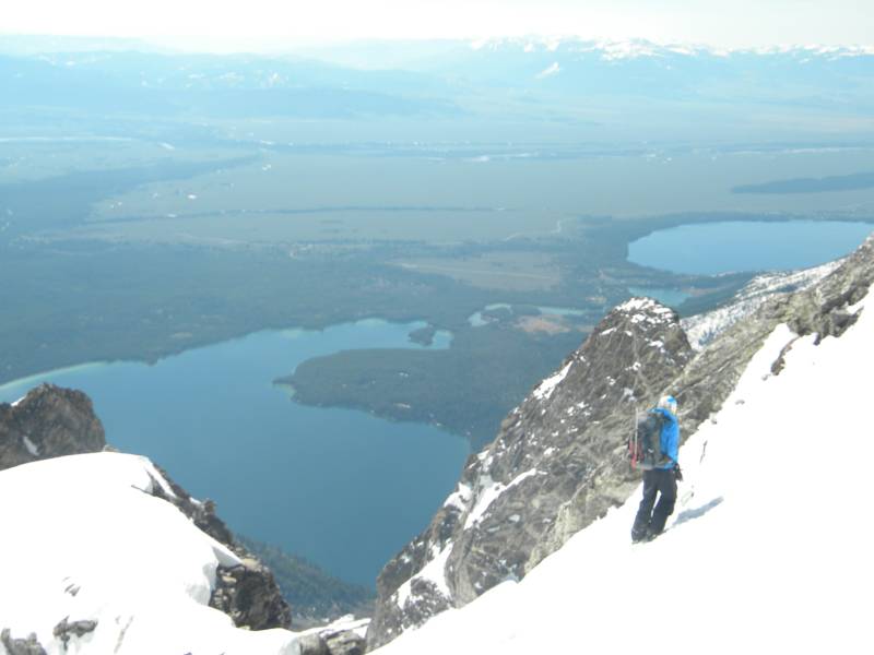
Finally I topped out the Skillet and we scrambled on some looseish rock for about five minutes to the summit. We were treated to spectacular views of the north face of the Grand Teton and the rest of the Teton range.
photo- Zach Taylor topping out on the Skillet Glacier. photo by Joel Paula, 2012.
photo- Zach Taylor scrambling up the summit block of Mt. Moran. photo by Sam Jordan, 2012.
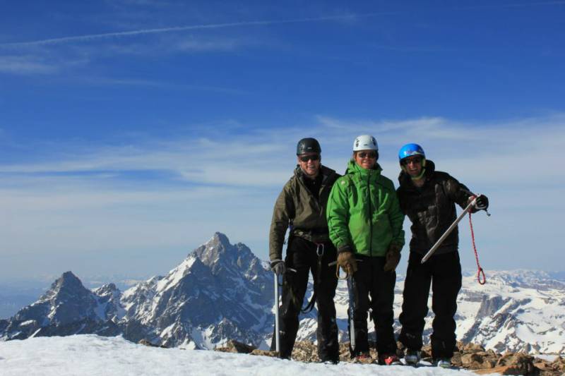
photo- from left to right; Sam Jordan, Zach Taylor, and Joel Paula on the summit of Mt. Moran with the Grand Teton pictured in the background. photo by Sam Jordan, 2012.
photo- The Grand Teton. photo by Joel Paula, 2012
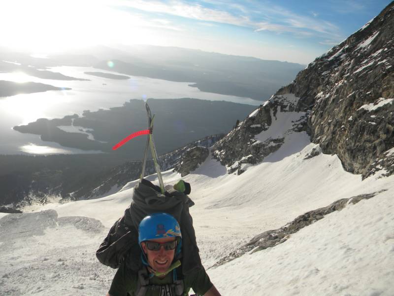
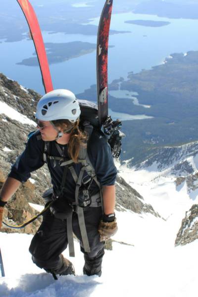
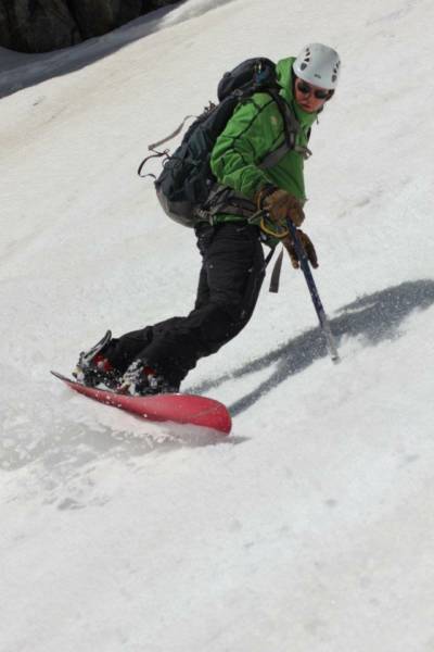
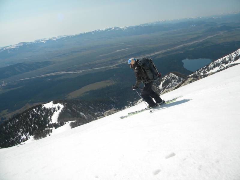
photo- Zach Taylor climbing up the Skillet Glacier, photo by Joel Paula, 2012.
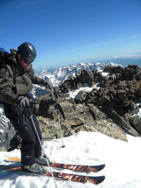
With time going quickly and the Skillet heating up we hurried back down to the drop in after a few obligatory summit shots and readied for the descent.
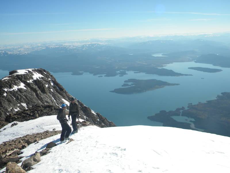
photo- Joel Paula (left) and Sam Jordan (right) at the drop in to the Skillet Glacier on Mt. Moran. photo by Zach Taylor, 2012.
photo- Joel Paula getting ready to drop in. photo by Zach Taylor, 2012.
photo- Sam Jordan getting ready to drop in. photo by Zach Taylor, 2012.
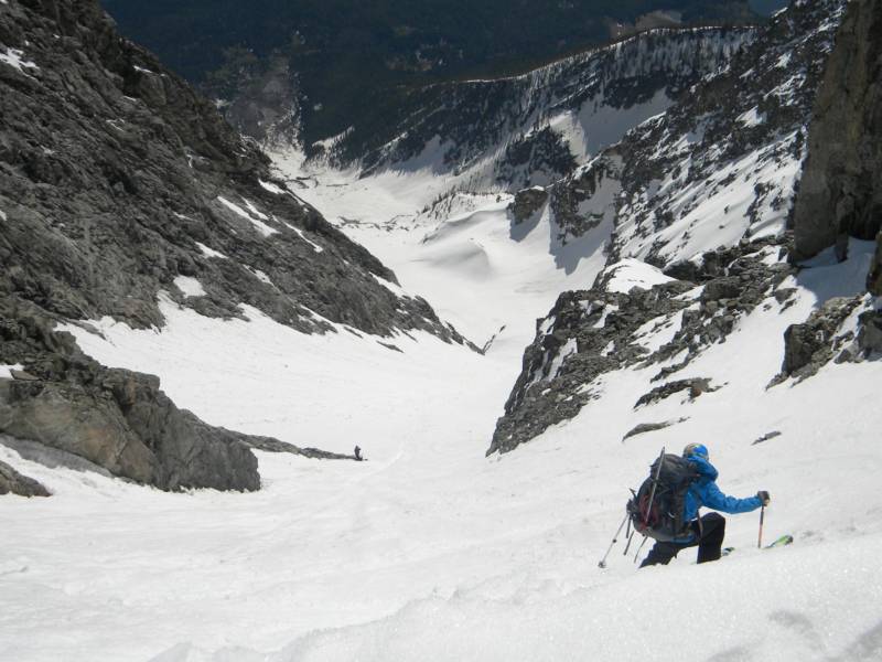
Sam was the first to drop in at 9:15am. He made a couple jump turns at the top and snow sloughed a bit around him as he turned. I usually like to drop into east facing slopes around 9:15-9:30 in Colorado.. On this day I think we would have been better off dropping in at 8:45 or so. The snow was wet, a little slushy, and sluffy on the way down.
Sam skied the crux 300' and then pulled off to the side to wait for Joel and I. Joel dropped in next and I brought up the rear. We reconvened below the crux before making more turns.
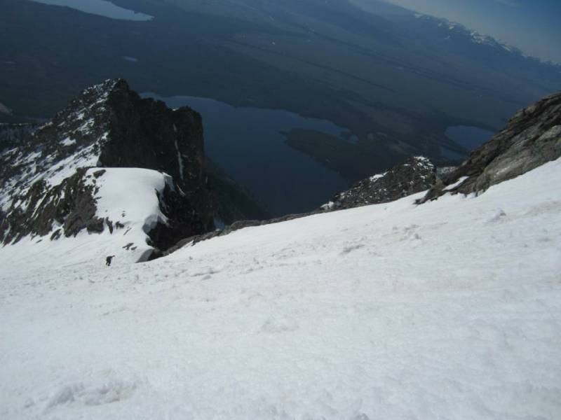
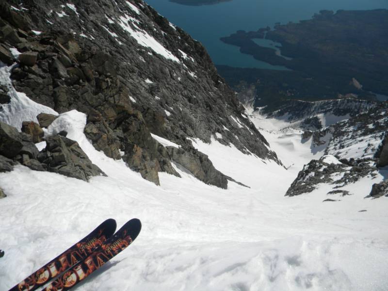
photo- Peering down the Skillet. photo by Sam Jordan, 2012.
photo- Joel Paula skiing the Skillet. photo by Zach Taylor, 2012.
photo- Joel Paula skiing the top of the Skillet. photo by Sam Jordan, 2012.
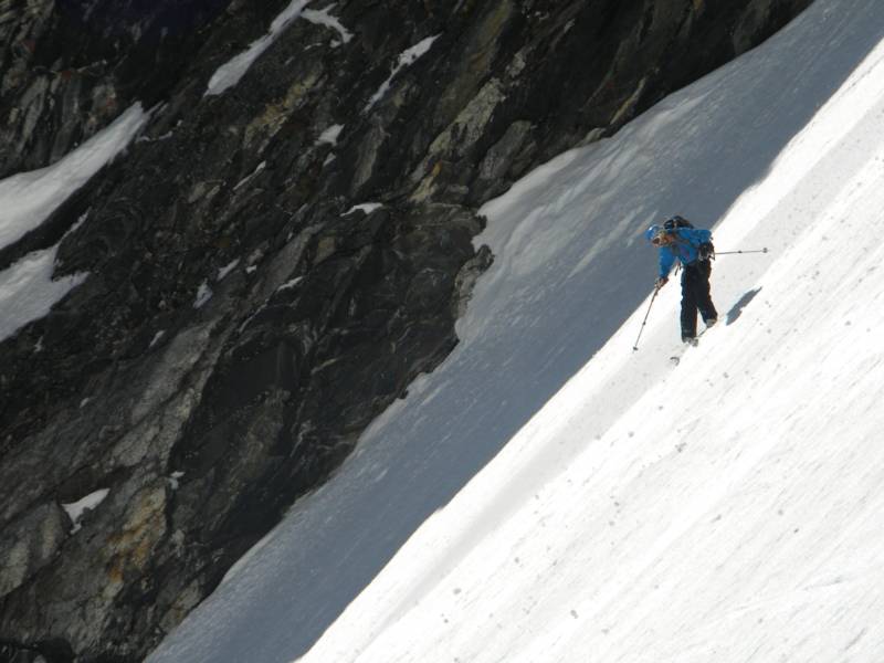
photo- Sam Jordan skiing the Skillet. photo by Zach Taylor, 2012.
photo- Steeps on the Skillet. photo by Sam Jordan, 2012.
photo- Joel Paula taking a break on the Skillet. photo by Zach Taylor, 2012.
The top 300 feet at least was definitely no mistakes skiing and really the top 800 feet or so was. I was a bit nervous at the top right before I dropped in. Once I dropped and made a couple turns I realized I could do it just fine and enjoyed the rest of the run down. The snow was soft. We made great turns for over 5000 feet down to base camp.
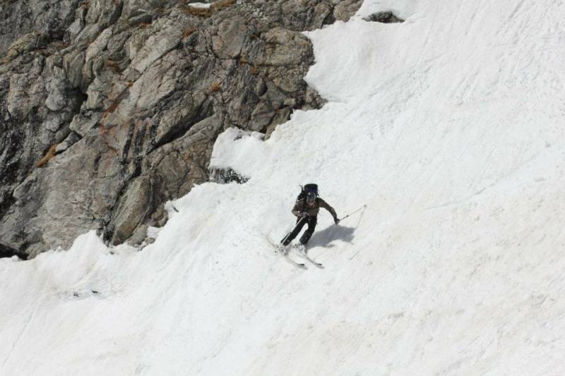
photo- Zach Taylor riding the Skillet. photo by Sam Jordan, 2012.
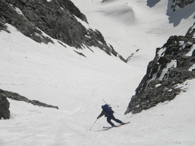
photo- Sam Jordan skiing the Skillet. photo by Zach Taylor, 2012.
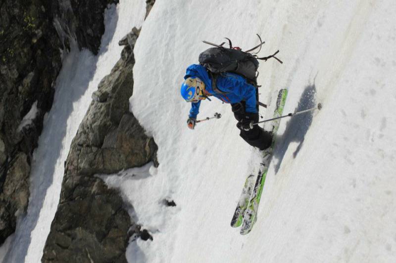
photo- Joel Paula skiing the Skillet. photo by Zach Taylor, 2012.
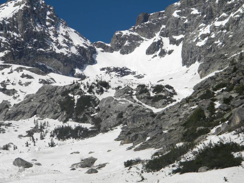
photo- Looking back up at the Skillet from basecamp. photo by Zach Taylor, 2012.
We made some mountain houses back at camp, refueled and began the bushwack back down to our canoe on the shores of Jackson Lake.
photo- Joel Paula bushwacking through the woods below Mt. Moran. photo by Zach Taylor, 2012.
photo- Zach Taylor bushwacking through the woods below Mt. Moran. photo by Sam Jordan, 2012.
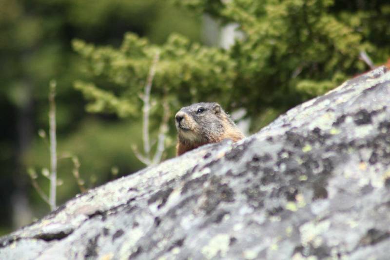
photo- A curious visitor beneath Mt. Moran. photo by Sam Jordan, 2012.
On the canoe back we decided instead of taking two trips to have one person walk along the shore while the other two canoe along next to the shore to get back to our car. I started out walking while Joel and Sam canoed along. After a while Joel and I switched and I hopped in the canoe while Joel walked.
As we were canoeing along I looked up at where Joel was and something caught my eye. A grizzly bear was sitting on the shore about a hundred feet from where Joel was walking towards him. Joel could not see the bear because of trees but he was clearly visible to me from the canoe. I started yelling, "Joel, bear, bear!!!" The bear took off running (fortunately away from Joel). The bear was curious though and did not go far. We continued to yell at him and flush him along the shore. Eventually the bear disappeared and we made it back to our car safely with no more bear incidences.
The Skillet Glacier is one of the classics for sure. If you are an extreme skier/snowboarder this line is a must on the tick list. It is no joke though. If you loose an edge at the top you can tumble for a long ways and the avalanche hazard can be significant as well. However if you have the skills, you must do this line. A beautiful boat ride to the base of the mountain, a good bushwack, a beautiful snow climb to a summit with unsurpassed views, followed by a classic, steep descent make this line a must.
photo- Joel Paula (left) and Sam Jordan (right) back at the canoe below Moran. photo by Zach Taylor, 2012.
photo- Joel in the canoe on Lake Jackson. photo by Sam Jordan, 2012.
The Sliver on Nez Perce and the east face of Pt, 10,646
I did not want to take the time to write a full trip report for the other peaks we climbed in the Tetons just because I did not take all that many pictures and because of the time that goes into writing a good trip report but below are pics and a synopsis of some of the other lines we climbed and skied in Teton National Park.
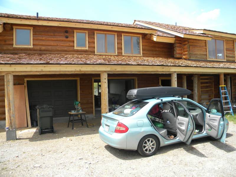
photo- My friend Elizabeth's place where we stayed while in Jackson. photo by Zach Taylor, 2012.
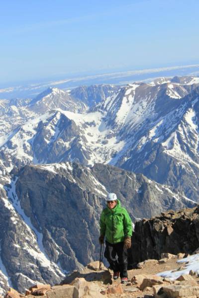
photo- Nez Perce and the Sliver. photo by SAm Jordan, 2012.
The Sliver is a steep couloir that descends from the ridge to looker's right of the summit of Nez Perce when viewed from the east. We did not summit Nez Perce because it it a technical rock climb to the summit but we topped out the couloir and it was a sick line. My good friend Elizabeth Ann Koutrelakos and her friend Wild Bill joined us for the climb/ski.
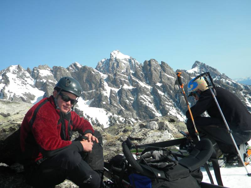
photo- Elizabeth Ann Koutrelakos (left) and Zach Taylor (right) hiking up Garnet Canyon. photo by Sam Jordan, 2012.
photo- Zach Taylor (left) and Joel Paula (right) gearing up in garnet Canyon with the Middle Teton pictured in the background. photo by Sam Jordan, 2012.
photo- Wild Bill (left) and Elizabeth Ann Koutrelakos (right) making their way up the Sliver on Nez Perce. photo by Sam Jordan, 2012.
photo- Wild Bill, Elizabeth Ann Koutrelakos, and Sam Jordan getting ready to ski a chute in Teton National Park. photo by Sam Jordan, 2012.
We also climbed Pt. 10,646' in Teton National Park. We set out to climb Buck Mountain but got lightly lost and ended up on the summit of Pt. 10,646, a lower summit, just adjacent to Buck Mountain in the southern end of the Park.
photo- Elizabeth Ann Koutrelakos heading towards the Sliver. photo by Zach Taylor, 2012.
photo- Sam Jordan (left) and Joel Paula (right) on the summit of Pt 10,646'. photo by Zach Taylor, 2012.
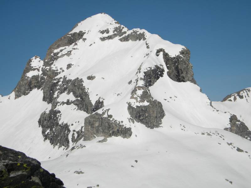
photo- Buck Mountain. photo by Zach Taylor, 2012.
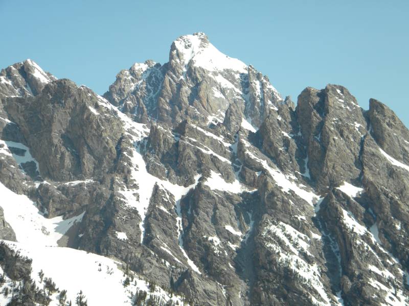
photo- the Grand Teton. photo by Zach Taylor, 2012
photo- Zach Taylor on the summit of Pt 10,646' photo by Sam Jordan, 2012.
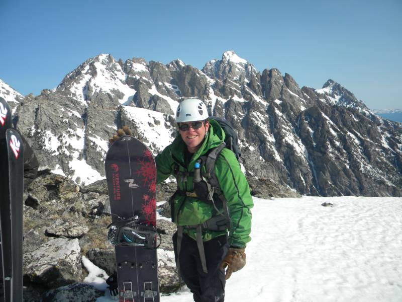
photo- Joel Paula skiing Pt. 10,646' photo by Sam Jordan, 2012.